
Precision. Innovation. Excellence.
Land Surveyor in Bendigo
5D Surveying Pty Ltd is your partner for precise, innovative land surveying across Bendigo, Echuca, Shepparton and central Victoria.
Prefer email? Reach us at quotes@5dsurveying.com.au
- 5.0
- 11 Google reviews
- Within 10 days
- Guaranteed site visit
- Within 2 days
- Quote or query reply
Mapping Your Success, One Survey at a Time
Navigating Tomorrow's Landscapes Today in Bendigo.
Trusted by builders, developers and councils across central Victoria












What we do
Surveying across the full project lifecycle
From the first contour survey to the final as-built, one team with the equipment and qualifications to handle it all.
- Land DevelopmentFeature and level (contour) surveys, boundary and title re-establishment, subdivisions, flood levels, Australian Height Datum (AHD) surveys, and setouts.
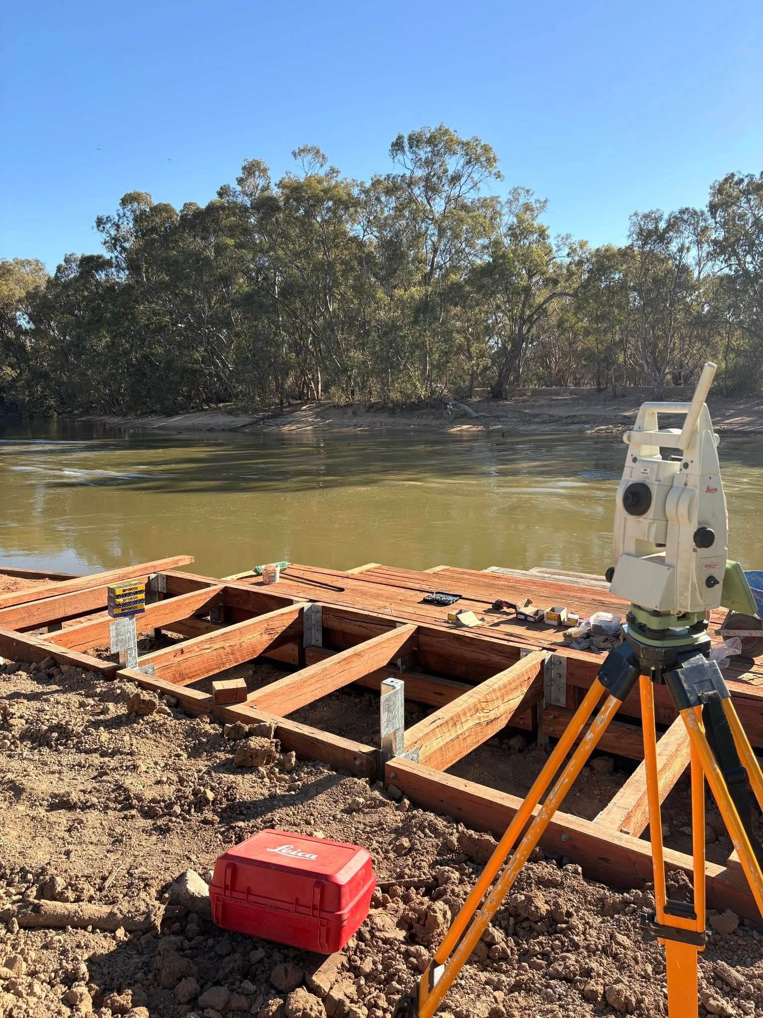
- Construction SurveyingGridline, FFL and TBM setout, pile and pier, precast and column setout, plus as-built and ASPEC surveys.
- Engineering SurveyingPavement conformance, volume reports, structural, drainage and sewer setout, bulk earthworks and civil works.
- Civil SurveyingGPS machine control files and rover files, plus on-site setup and localisations.
- 3D Laser ScanningTerrestrial laser scanning for high-density point clouds, as-built and BIM models, heritage records, internal volumes and structural monitoring.
- Aerial SurveysDrone photogrammetry and mapping, geo-referenced orthophotography, volumes, NDVI vegetation and progress monitoring.
 01 / Land Development
Land Development
Survey foundations for development that stacks up
Feature and level surveys are the starting point of any development. We document every site feature, existing buildings, trees, drainage, pits and services, then deliver AutoCAD (DWG) and PDF plans with levels to AHD, contours at 0.2m, easements and building envelopes. Accurate ground truth your design team can build on.
Bringing your vision to reality.Learn more
 02 / Construction Surveying
Construction Surveying
Precision through every phase of the build
From domestic houses to multi-storey developments, we handle gridline and floor-level setout, temporary benchmarks, pile and pier, precast and column setout, and as-built surveys. After every site visit you get a detailed plan of the work completed, so teams stay aligned and the project keeps moving.
Building with precision and confidence.Learn more
 03 / Aerial Surveys & Drone Mapping
Aerial Surveys & Drone Mapping
High-resolution data, captured from above
Drone photogrammetry covers a few hectares to hundreds of square kilometres fast. Geo-referenced orthophotography, volume calculations, NDVI vegetation classification and progress monitoring give you a single accurate point of truth, without anyone setting foot in a hazardous zone.
Elevating surveying to new heights.Learn more
Why 5D Surveying
The detail that keeps
projects on track
Expertise and experience
RMIT-qualified surveyors with backgrounds across mining, rail, civil and subdivision projects nationwide. Decades of field experience behind every job.
Advanced technology
Drone photogrammetry, GPS machine control for Trimble, Topcon and Leica, and terrestrial laser scanning, delivering precise, reliable results.
Customer-centric delivery
A site visit guaranteed within 10 days, a quote within 2, and a detailed plan after every single visit. Communication you can plan around.
Reviews
What clients say about working with us
 5.0 from 11 Google reviews
“The 5D Surveying team were very professional and easy to deal with. They completed our surveying brief well within time, delivered on expectations and were very responsive to any questions. I will certainly be using 5D on our next job.”
“We've used 5D for an array of services and no one else compares in terms of quality, proactivity and professionalism. From set outs to drafting As-Builts, they can do it all.”
“5D Surveying impressed us with their clear communication and quick turnaround. Their accurate data made our design process much smoother. We highly recommend them for reliable, efficient surveying.”
“Their 3D machine control models and lidar accuracy revolutionised our workflow. Minimal rework, no downtime waiting on deliverables. A key strategic partner who understands large-scale construction.”
Get started
Let's map your project's success
Tell us about your site and we'll come back with a quote within two days. Surveying you can plan around, right across central Victoria.